Cala Luna is one of the most recognizable beaches in the Gulf of Orosei, and in 2026 it’s also one of the more actively managed — a new landing jetty and a numbered daily access system shared between two municipalities. This guide covers what to expect getting there by boat or on foot, and what’s currently true about access rules. For nearby options, see our guides to Santa Maria Navarrese and Cala Mariolu.
What Cala Luna Is Actually Like
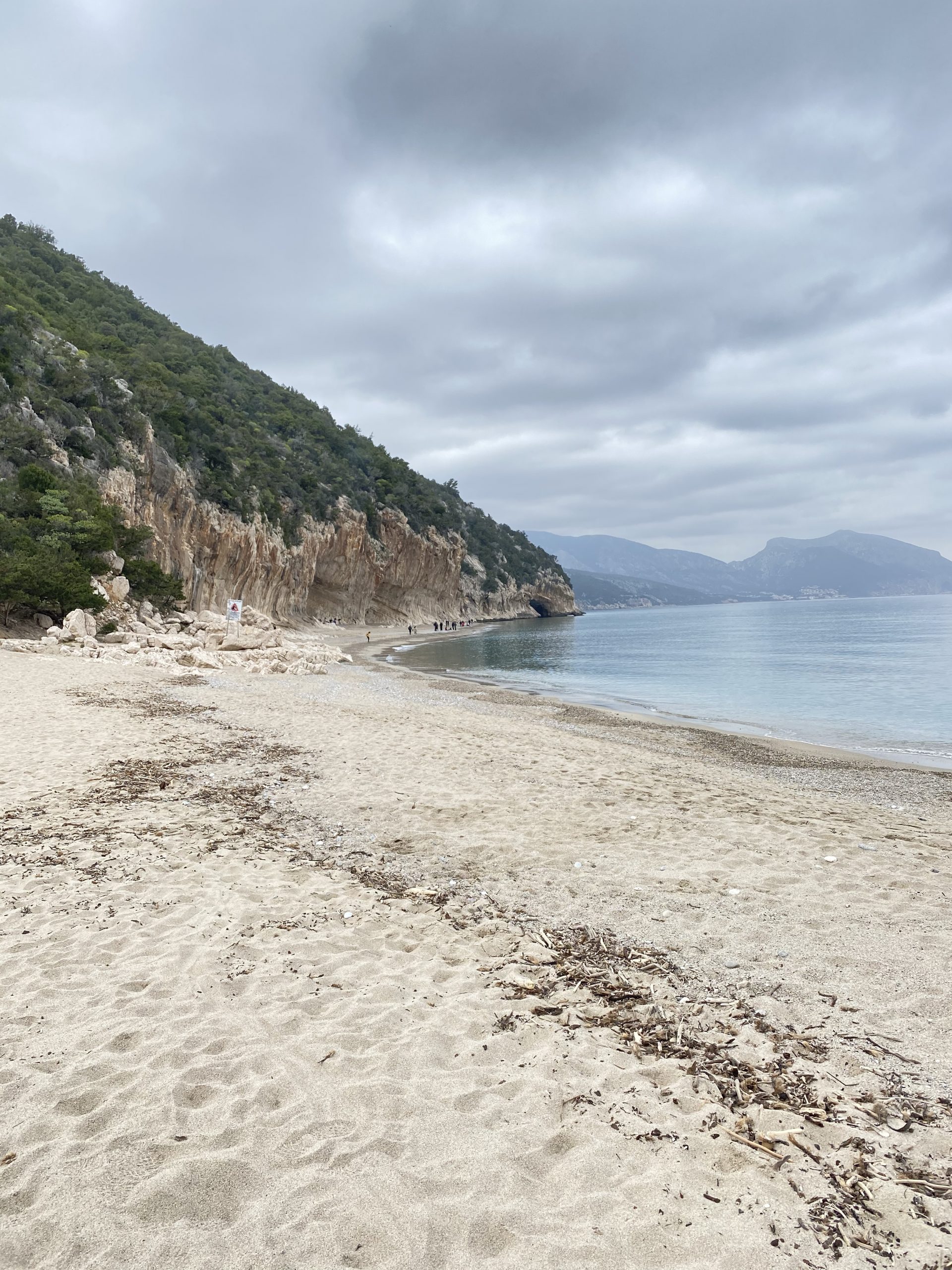
Cala Luna sits on the border between the municipalities of Dorgali and Baunei, part of the wider East Coast & Ogliastra coastline. It’s a long crescent of beach backed by limestone cliffs riddled with large caves. It has been used as a film location and photographed for decades, and it remains one of the defining images of this coast — but it’s also genuinely busy, in a way that shapes almost every practical decision about visiting it.
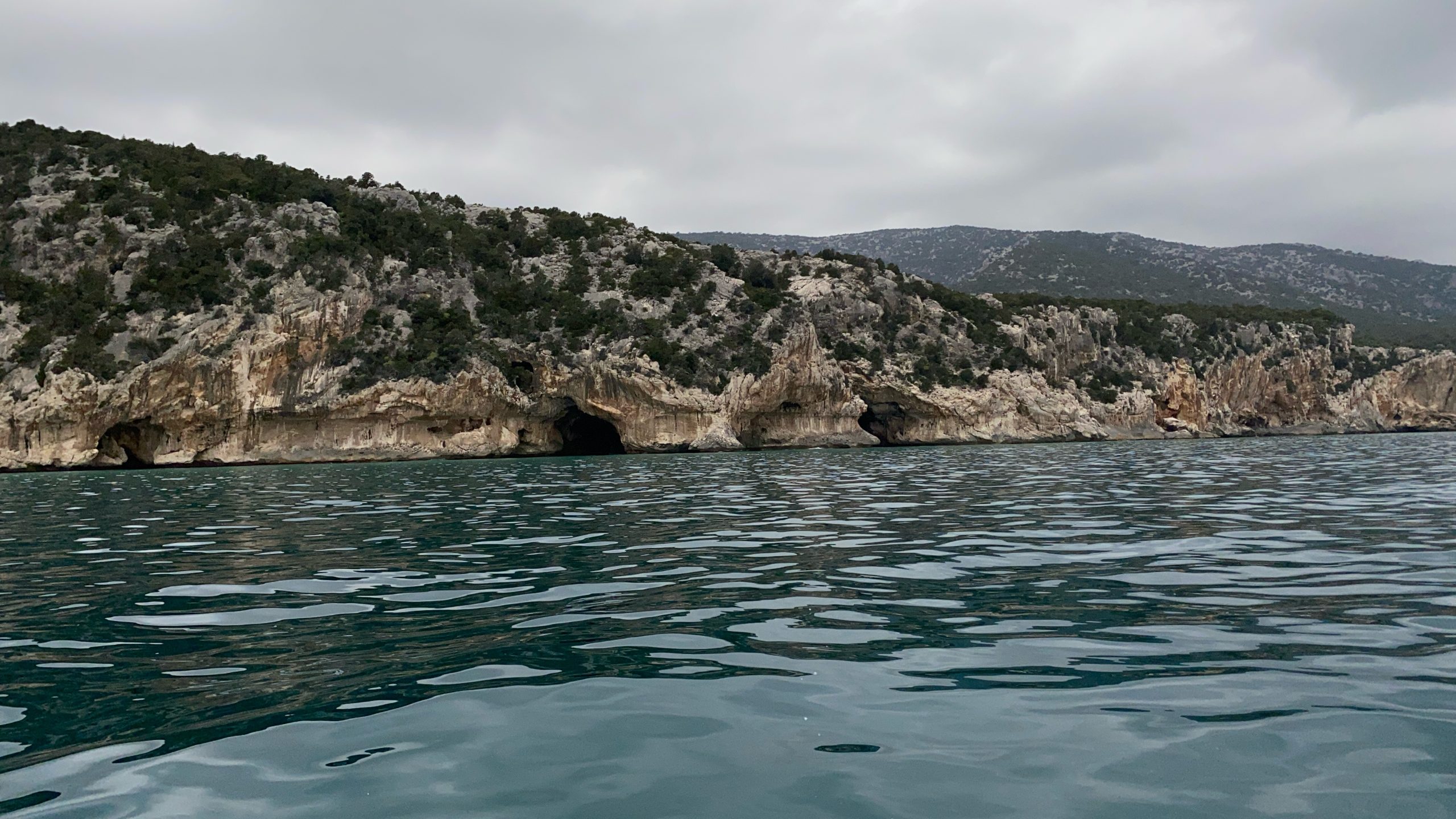
The Cliffs and Caves Behind the Beach
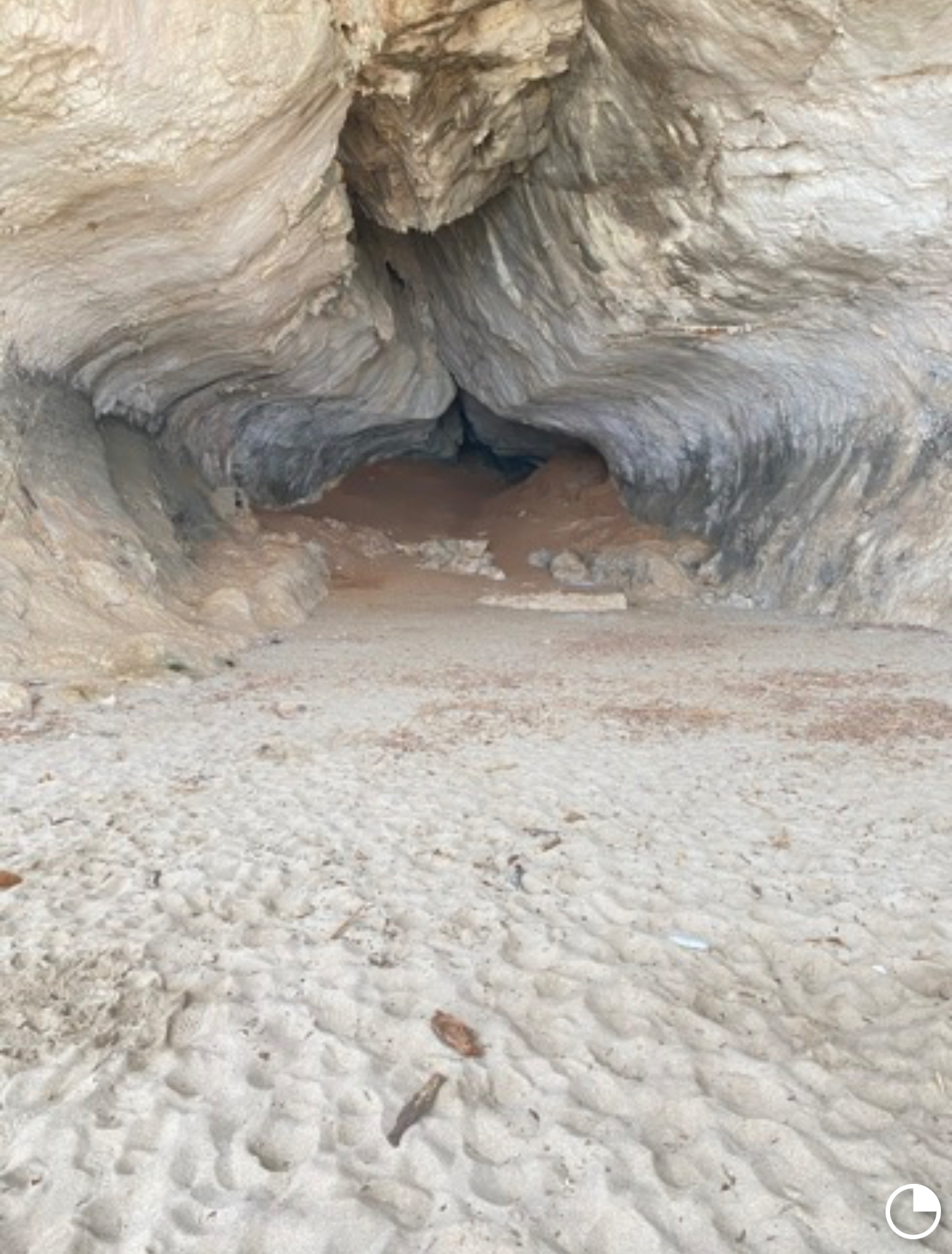
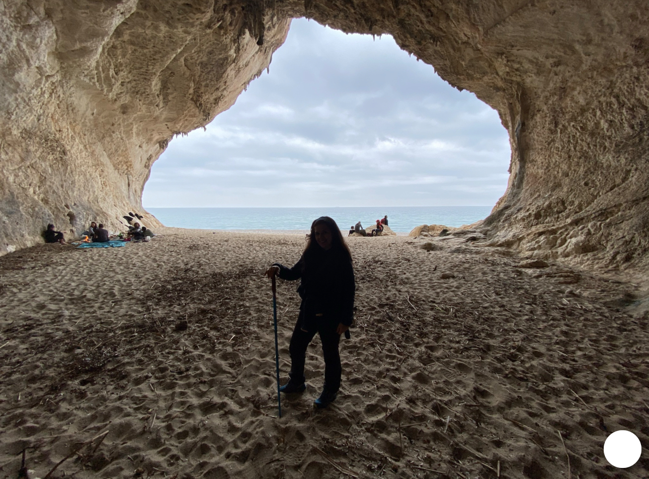
The northern end of the beach backs onto a line of large limestone caves cut into the cliff face, some big enough to walk into. A freshwater pond may form behind part of the beach, surrounded by oleanders, giving Cala Luna a greener, softer backdrop than the starker pebble coves farther south.
Don’t treat every cave entrance as automatically safe for shade or swimming. Overhead rock in karst terrain can be unstable, and some areas may carry access or swimming restrictions. Follow any barriers, posted signage, or staff instructions on-site rather than assuming a cave is safe simply because it looks inviting.
Beach Composition and Swimming Conditions
The shoreline is a mix of pale sand and pebble rather than pure fine sand. The water is clear, but depth and swimming conditions vary with the shoreline, wind, and swell — don’t assume a uniform, gently sloping bottom. With heavy boat traffic in season, both the sense of calm and the amount of open swimming space are more limited here than at quieter coves nearby.
Boat Access from Cala Gonone
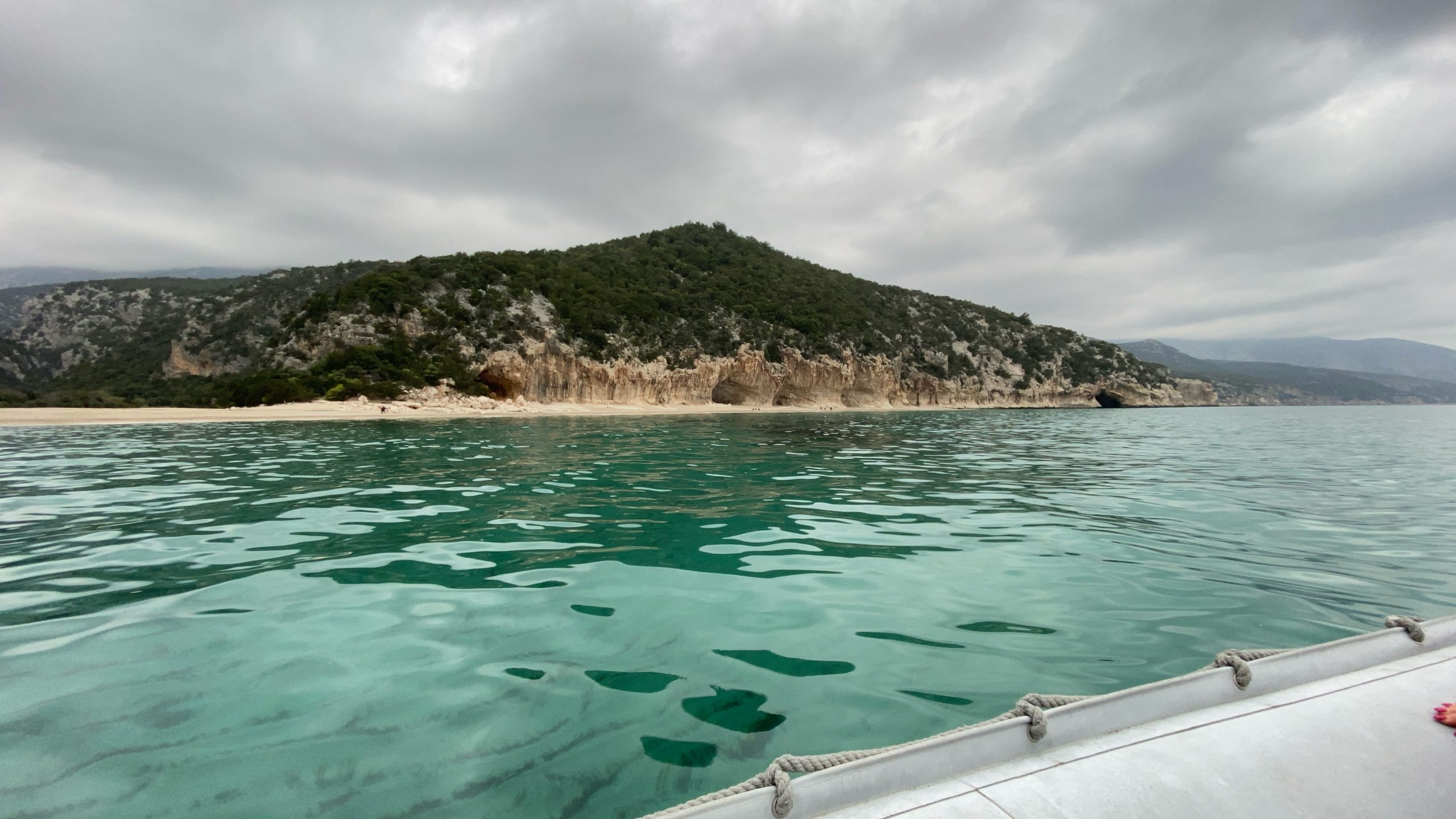
Cala Gonone is the closest and most established departure port for Cala Luna, with scheduled ferries and guided excursions running in season. An 18-meter landing jetty built by the Comune di Dorgali became fully operational in late June 2026, intended to allow safer passenger landings and separate boat traffic from swimming areas. Treat this as the current arrangement rather than a permanently fixed one — it replaced an informal landing method and could itself be modified in future seasons. Exact schedules, fares, and crossing times vary by operator and season, so confirm current details directly at the port.
Boat Access from Santa Maria Navarrese and Arbatax
Cala Luna sits farther from Santa Maria Navarrese and Arbatax than it does from Cala Gonone, so boats from these southern ports run a longer crossing. It’s possible, and some operators do include it, but for travelers based in Santa Maria Navarrese, Cala Mariolu and Cala Goloritzè are typically the closer, more natural focus of a day trip, with Cala Luna reachable but less central to itineraries departing from there.
How Departure Port Shapes Your Day
From Cala Gonone, Cala Luna is typically the most convenient single stop, or one of two paired with Cala Mariolu farther south. From Santa Maria Navarrese or Arbatax, Cala Luna sits at the edge of a longer, more southern-focused itinerary rather than the default stop. Confirm which coves a given excursion actually includes before booking, since itineraries vary by operator, day, and conditions.
Scheduled Boats vs. Smaller Guided Excursions
Larger scheduled ferries run fixed routes at the lower end of the price range, typically carrying more passengers. Smaller guided RIB or gommone excursions cost more but move at a more flexible pace, often combining Cala Luna with a broader stretch of coastline in one outing. Landing duration and itinerary depend on the operator’s schedule and current access rules — confirm the planned stop length before booking rather than assuming a set window.
Weather and Sea Conditions That Prevent Landing
The Gulf of Orosei is exposed from the east, and wind from the northeast or east can make landing difficult or impossible, particularly for smaller craft. When conditions don’t allow a safe landing, operators typically adjust the itinerary — an offshore view, a different sheltered stop, or a shortened visit — rather than guaranteeing a landing regardless of sea state. Treat this as a normal possibility on this coast, not a rare exception.
Hiking from Cala Fuili
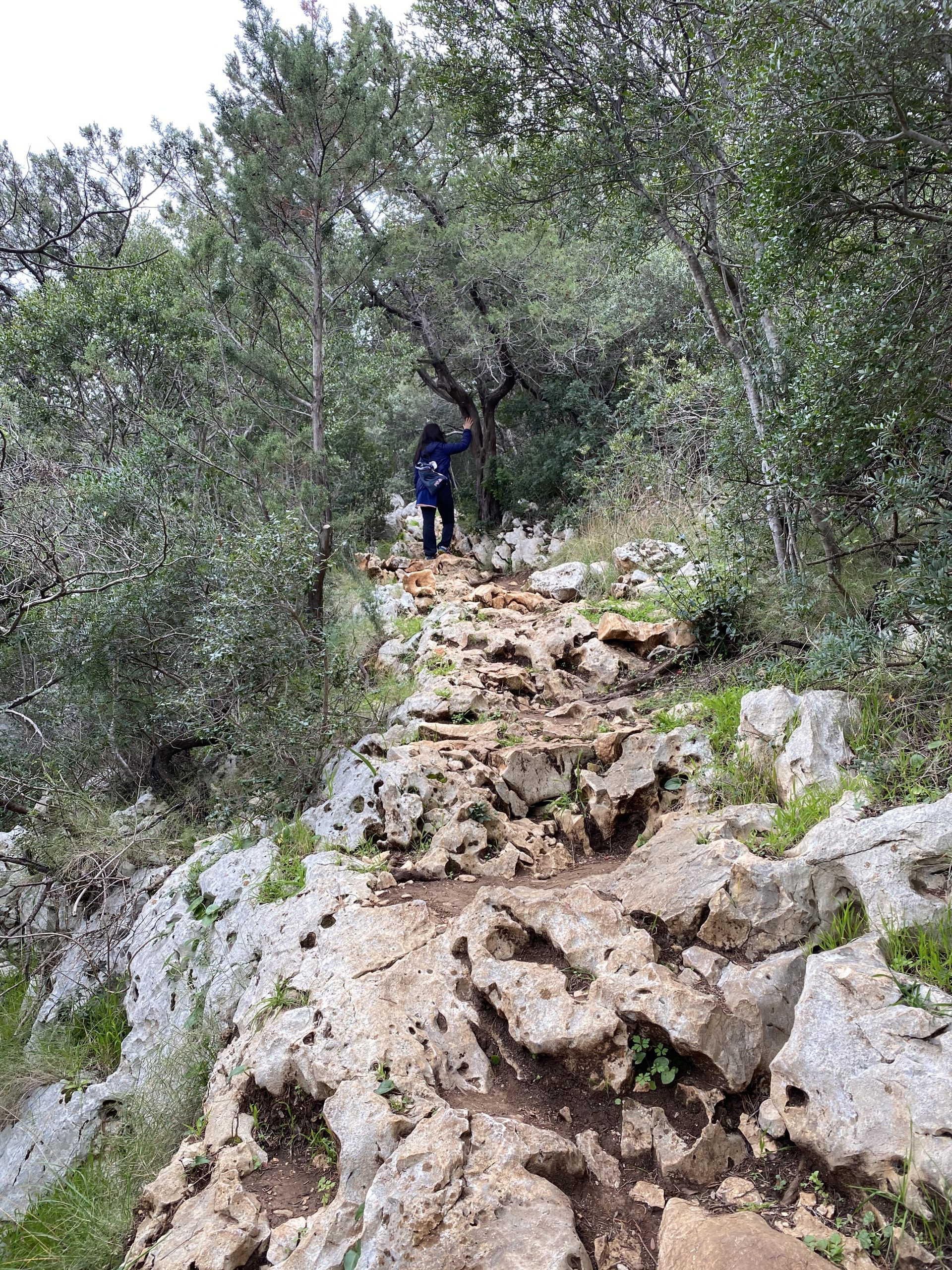
Cala Fuili, the southernmost beach reachable by car from Cala Gonone, is the trailhead for the most popular walking route to Cala Luna — official trail code CAI Z-NU-B-162. From the parking area, the path descends steps to the floor of the Codula Fuili, crosses it, and climbs the opposite side. Early on, the route passes a junction for a side path toward the Bue Marino cave entrance — a separate detour, not part of the ordinary route to Cala Luna, so don’t assume the cave is included along the way. The main trail continues through Mediterranean scrub before a steep final descent into the Codula di Luna and on to the beach.
Trail Distance, Difficulty, and Realistic Timing
According to the official Sardegna Sentieri listing for trail B162, the route covers 5 kilometers one way, with a stated hiking time of 1 hour 30 minutes to 2 hours and a total elevation change of approximately 227 meters. The official difficulty rating is E (Escursionistico) — a standard hiking-level trail rather than a technical one. As of this writing, the listing’s validation status is marked “under verification or maintenance,” last updated June 16, 2026. Check the official trail listing or local authorities for current conditions and any closures before you set out.
Trail Conditions, Heat, Shade, Footwear, and Water
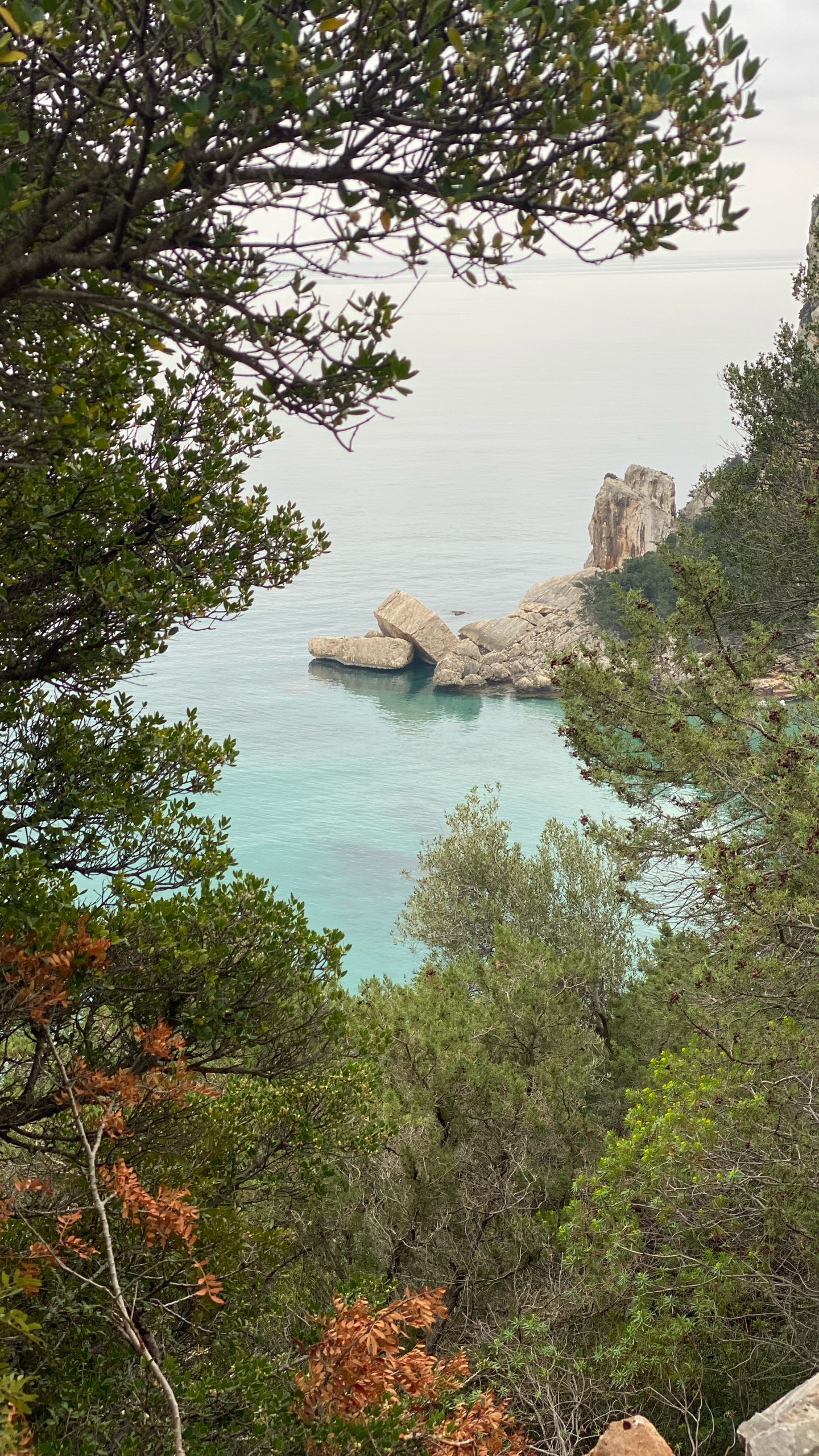
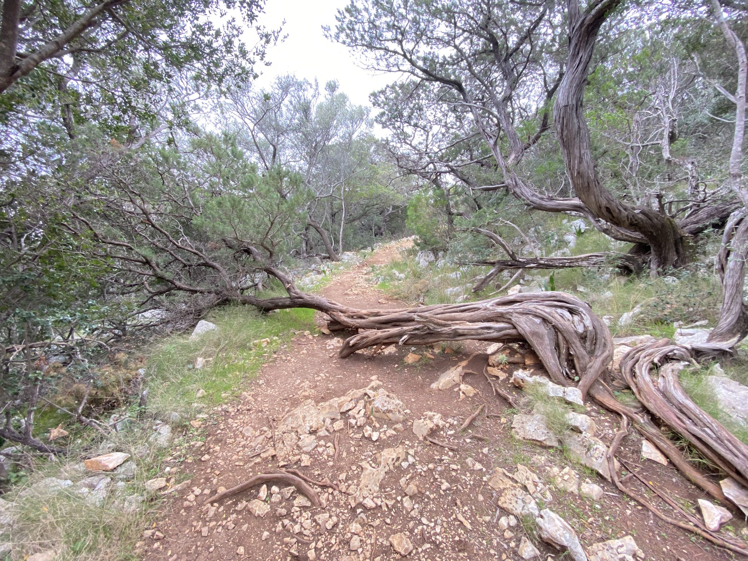
The terrain is uneven and rocky underfoot for long stretches, with a steep final descent into the Codula di Luna near the end. The route is heavily worn and generally visible because of frequent use, although it passes several junctions and deviations, most of which are signposted. Download the official GPX file or an offline map before leaving. Shade is limited for much of the walk. Sturdy, closed-toe footwear with real grip matters here, and carrying more water than feels necessary is sensible advice, since there’s no reliable water source on the trail.
Why the Return Hike Can Be Harder
The elevation change here is more modest than on the Cala Goloritzè or Cala Mariolu trails, but the return leg still tends to be the harder half of the day — later in the afternoon, after sun and swimming have already taken something out of you, on the same uneven terrain you crossed that morning. Pace yourself and don’t treat the return as a formality just because the outbound hike felt manageable.
Can a Boat Return Be Arranged?
Hiking in and returning by boat is a widely practiced option here — but be clear on what that actually gets you: return boats from Cala Luna generally go to Cala Gonone, not back to Cala Fuili. If you left a car at the Cala Fuili trailhead, you’ll need onward transportation from Cala Gonone back to your car, and neither a bus nor a taxi is guaranteed to be readily available. Verify current bus schedules or taxi availability in Cala Gonone before you rely on this plan. This isn’t a minor detail — sort out your onward transport before you commit to a boat return.
Why You Must Confirm the Final Return Boat
A boat return depends on available capacity on a scheduled departure or excursion boat that afternoon, and on conditions allowing normal service — none of which is guaranteed simply because the practice is common. Confirm realistic timing and availability at the port in Cala Gonone before you set out on the hike, and have a genuine fallback plan — including walking back the way you came — if the boat doesn’t work out.
Parking and Access at Cala Fuili
Parking near the end of the road at Cala Fuili is limited rather than unlimited, and it fills up faster in peak season — arriving early in July and August is the most reliable way to avoid a problem. Follow current signage for permitted parking areas when you arrive. Road and trail conditions on this coast can occasionally be affected by weather or maintenance work, so it’s worth checking current status before you set out if you have any doubt.
Reservations, Landing Fees, and Visitor Limits
Since 2025, sea access to Cala Luna has been regulated under a joint system between the Comuni of Dorgali and Baunei. According to Dorgali’s own municipal administration, cited directly in an August 2026 report by La Nuova Sardegna, capacity for the current season has been set at a maximum of 900 people present at the beach at any one time, tracked through a QR-code booking system. Other current reporting has described a per-person contribution of around €2 per day and a regulated period running roughly mid-June through mid-September, with places split 450 each between the two municipalities. Treat the fee and date-range figures as current reporting rather than confirmed permanent rules. Confirm exact fees, dates, and booking details with the Comune di Dorgali or Comune di Baunei before you travel.
How you book depends on how you’re arriving. If you’re traveling with a scheduled ferry or guided excursion, follow your operator’s instructions — some or all of the booking and fee may be handled on their end, but this isn’t guaranteed across every operator, so ask directly. If you’re arriving independently, by rented boat or on foot via the Cala Fuili trail, check the applicable municipal process yourself rather than assuming the same rules apply as for operator passengers.
The current system still has practical gaps. In August 2026, Dorgali’s mayor told La Nuova Sardegna that privately operated rental dinghies and hikers were not included in the counted system, although the municipality said the official 900-person capacity had not been reached during the season. Because the rules remain in development, verify the current process shortly before visiting.
Seasonal Facilities: What Not to Rely On
A small seasonal kiosk has operated at Cala Luna in some years, but treat this as a possible convenience rather than something to plan around — hours, offerings, and whether it operates at all can vary season to season and shouldn’t be assumed.
Food, Water, Toilets, and Lifeguards
Don’t assume reliable food service, drinking water, toilets, or lifeguard presence at Cala Luna. Confirm current services before you go if any of this matters to your plans, and otherwise arrive fully self-sufficient with your own water, food, and sun protection as the default.
Crowds and the Best Realistic Arrival Strategy
Cala Luna is consistently described as one of the busiest beaches in the Gulf of Orosei, particularly from late morning through mid-afternoon, when boat excursions and hikers who started early both converge here. Even with the 900-person capacity system in place, an August 2026 report by La Nuova Sardegna described visitors still experiencing a strong sense of overcrowding at the point of departure and around the beach, partly attributed to boat traffic operating outside the counted system. An early start — an early hike from Cala Fuili or the first boat of the day — remains the most realistic way to see it with fewer people around.
Suitability for Children, Older Travelers, and Limited Mobility
By boat, Cala Luna is a reasonable outing for families and older travelers, though boarding and disembarkation arrangements vary by vessel and operator and may involve uneven or unstable surfaces — ask your operator for details in advance if mobility is a concern. There are no paved paths or accessible facilities at the beach itself. The hiking route is a poor fit for young children, older travelers, or anyone without reasonable fitness and sure footing on uneven terrain.
Snorkeling and Boat-Traffic Safety
The caves and clear water make parts of Cala Luna rewarding for snorkeling, but this is a genuinely busy cove with constant boat arrivals and departures in season. Follow any marked swimming areas and staff instructions, and stay outside landing and navigation corridors at all times rather than simply keeping half an eye on nearby boats.
What to Bring
- Sturdy closed-toe shoes if hiking any part of the route.
- Water and snacks — don’t rely on any on-site facility being open.
- Sun protection, since shade on the trail and at parts of the beach is limited.
- Cash, useful for boat tickets and any seasonal kiosk.
- An offline map if you’re hiking, even though the route is well used.
- A backup transport plan if you’re hiking one way and hoping for a boat back to Cala Gonone.
How Long to Spend at Cala Luna
If hiking both ways, plan on most of a day once travel time and time at the beach are included. If arriving by boat as part of a broader excursion, Cala Luna is more naturally one stop among several rather than a full-day destination on its own — the time ashore depends on your operator’s itinerary and current access rules, so confirm the planned duration before booking.
Cala Luna Compared with Cala Mariolu
Cala Luna is the more accessible of the two — a moderate hike or a short, direct boat ride from Cala Gonone — which is also why it draws such consistent crowds despite its own access limits. Cala Mariolu, farther south, involves its own separate regulated sea-landing system and a considerably harder, expert-level land route — a genuinely different undertaking, not just a harder version of the same outing. If ease of access matters most, Cala Luna is the more forgiving choice. Some Cala Gonone excursions combine them, depending on the operator, itinerary, and sea conditions.
Cala Luna Compared with Cala Goloritzè
Cala Goloritzè sits farther south along the Baunei coast and is a fundamentally different visit: boats cannot land there at all, and access is limited to a demanding, reservation-based hike from the Golgo plateau. Cala Luna, by contrast, is reachable by both boat and a moderate trail, with no hiking reservation currently required — though, as covered above, sea access is capacity-limited. If you want the option of arriving by boat, or a hike without advance booking, Cala Luna is the more flexible of the two.
Responsible Tourism and Leave-No-Trace Behavior
Cala Luna’s popularity makes ordinary care more important, not less. Pack out everything you bring in, including food waste — bins at a remote beach like this one are not guaranteed. Stay on the marked trail rather than cutting across the scrub if hiking, respect the caves as a shared and fragile resource rather than a place to leave marks or litter, and follow current access rules and staff instructions on the beach itself.
Who Should Choose Cala Luna — and Who May Prefer Another Beach
Cala Luna suits travelers who want some of the Gulf of Orosei’s most iconic scenery via the most accessible route in, by either boat or a moderate hike, and who don’t mind sharing the beach with a genuinely large number of other visitors. It’s a poor fit for anyone specifically seeking solitude — the current access limits haven’t fully solved that, and reporting from August 2026 suggests the sense of crowding remains a live issue here even within the official cap. Travelers who want a harder-won cove, reached through a separate and more tightly regulated sea-landing system or an expert-level hike, might consider Cala Mariolu instead — though it can become heavily crowded in its own right, so it’s not a reliable shortcut to a quieter beach.