
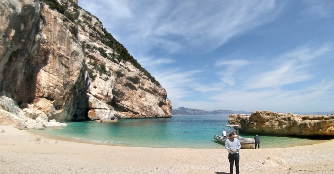
The Gulf of Orosei is the reason people say Sardinia doesn’t look real. Its best-known southern sector is a largely roadless stretch of limestone coastline, reached mainly by boat or on foot, where cliffs drop into water shifting between turquoise and deep blue. This guide is the starting point for planning a visit: how the gulf is organized, which town to base yourself in, which coves and hikes suit which travelers, and what’s currently true about the access rules now governing several of its most famous beaches. For specifics on individual coves and towns, this article links out to our focused guides rather than repeating them in full.
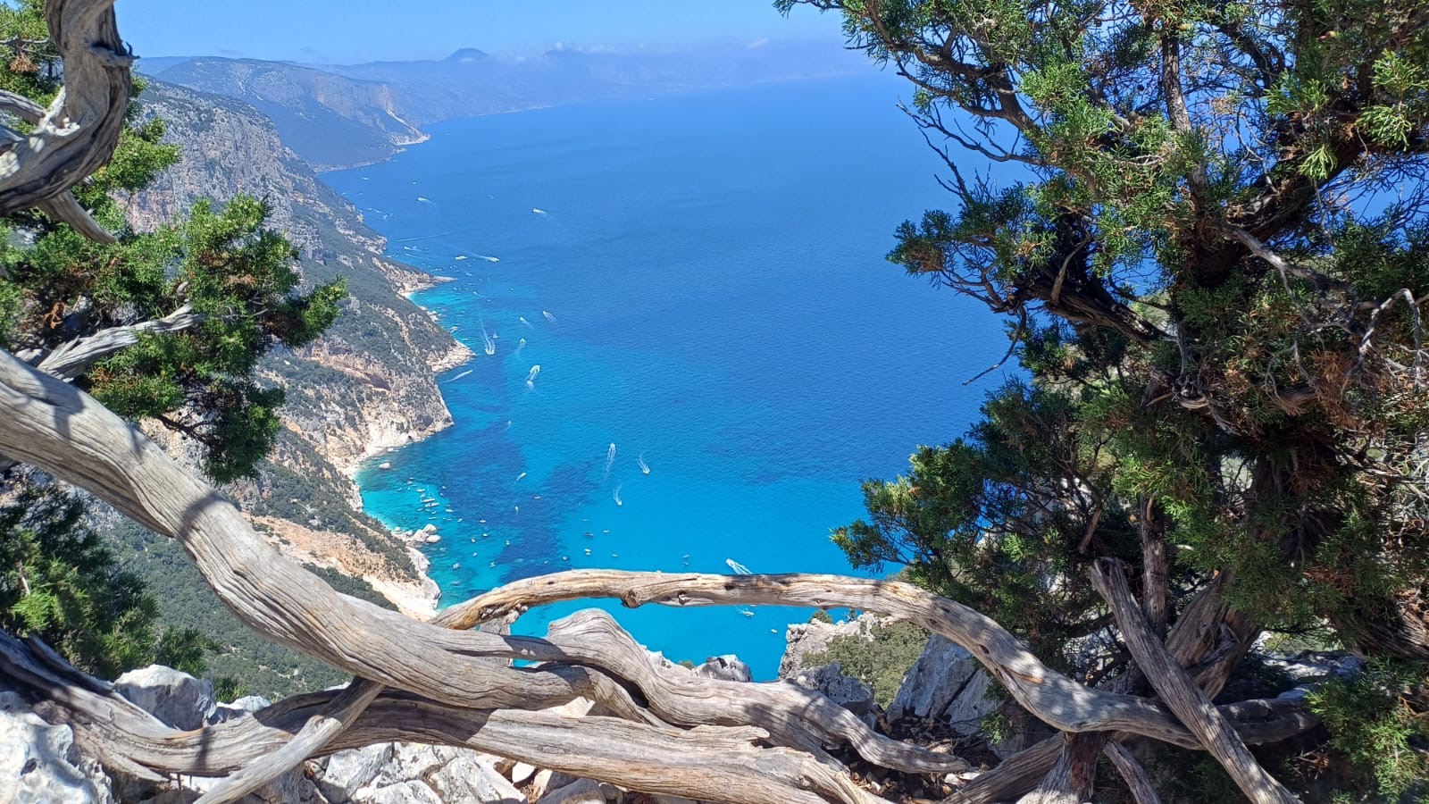
What and Where the Gulf of Orosei Is
The Gulf of Orosei occupies a broad section of Sardinia’s central-east coast, conventionally extending from Capo Comino in the north to Capo Monte Santu in the south. Cala Gonone is its principal visitor base, while Santa Maria Navarrese and Arbatax lie farther south and function as useful departure points for excursions toward the gulf and the adjoining Baunei coast. The gulf takes its name from the town of Orosei near its northern side.
Why the Coastline Is Difficult to Access by Road
The same limestone cliffs that make this coastline dramatic also make it nearly impossible to build a road along. Where roads do reach the coast — Cala Gonone, Cala Fuili, Santa Maria Navarrese, Arbatax — they stop, and the terrain beyond is left to boats and hiking trails. This is the single most important fact to understand before planning a trip here: you cannot drive between most of the gulf’s famous beaches, and any itinerary needs to be built around boats, hikes, or some combination of the two.
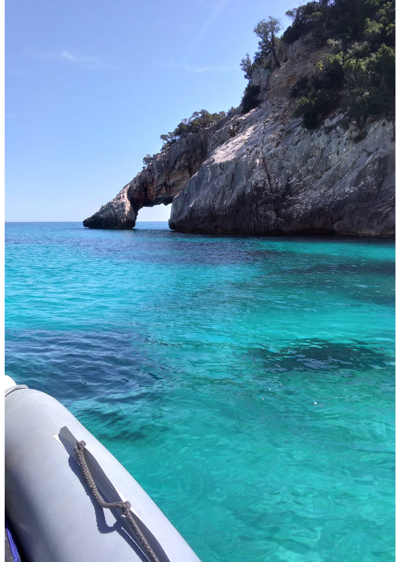
The Broader Gulf vs. the Baunei Coast
You’ll see “Gulf of Orosei” and “Baunei coast” used somewhat interchangeably in travel material, but they’re not quite the same thing. The Gulf of Orosei is the formal geographic bay bounded by Capo Comino and Capo Monte Santu. The municipality of Baunei, however, includes coastline both within that formal boundary and immediately south of it — which is why Pedra Longa and Santa Maria Navarrese, sitting south of Capo Monte Santu, are still relevant to the same trip even though they fall outside the gulf’s strict geographic limits. Baunei’s stretch of coast has its own tourism authority, access rules, and booking systems, distinct from the Dorgali-managed portion around Cala Gonone and Cala Luna further north. This administrative split is the reason access rules differ from one beach to the next even within what feels like a single continuous coastline.
Cala Gonone: What It’s Actually Like
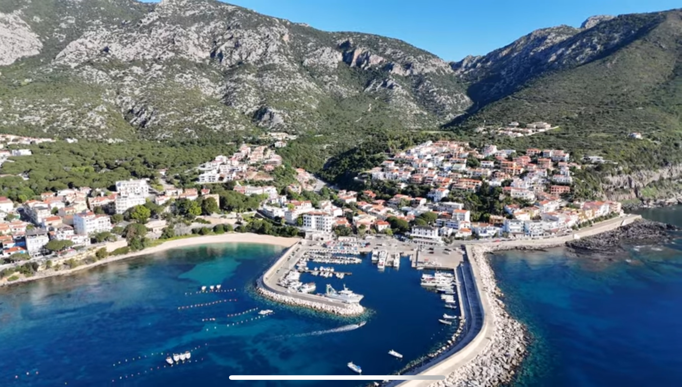
Cala Gonone is a small resort town in the comune of Dorgali, with a working harbor, a town beach, and a modest strip of restaurants and shops. It isn’t a nightlife destination, but it’s the most complete base in the gulf for infrastructure — hotels, restaurants, boat operators, and easy walking access between the port and town center. For the full picture, see our East Coast & Ogliastra destination page.
Cala Gonone as the Principal Northern Base
Many excursions serving the gulf’s central and southern coves depart from Cala Gonone’s harbor, within reach of Cala Luna, Cala Sisine, the Grotta del Bue Marino, and — with a longer run — Cala Mariolu. It’s also the trailhead town for the Cala Fuili hiking route. If you want maximum boat frequency and don’t mind a longer crossing to the Baunei coast’s southern coves, this is the most practical base.
Santa Maria Navarrese: A Quieter Southern Base
Santa Maria Navarrese, a coastal frazione of Baunei, offers a smaller, quieter alternative with its own marina, beaches, an 11th-century church, and a genuinely old wild olive grove. It sits closer to Cala Mariolu and Cala Goloritzè than Cala Gonone does. Full detail is in our Santa Maria Navarrese guide.
Arbatax: Another Southern Departure Point
Arbatax, part of Tortolì south of the Gulf of Orosei’s formal boundary, is a working port and an established departure point for excursions along the Baunei coast and into the gulf. It’s a reasonable alternative to Santa Maria Navarrese, though it sits outside the gulf’s immediate hub of hotels and restaurants.
Baunei Village and the Golgo Plateau: An Inland Hiking Base
Baunei village sits inland and uphill from Santa Maria Navarrese, with the Golgo plateau above it — the starting point for the Cala Goloritzè hike, and a destination in its own right with a sinkhole, a rural church, stone shepherd’s huts, and free-ranging livestock. Basing yourself here makes sense specifically if hiking is your priority over beach time. Full detail is in our Baunei and Golgo Plateau guide.
Choosing Between the Four Bases
Cala Gonone suits travelers who want the most infrastructure and frequent boat departures, with Cala Luna as an easy default. Santa Maria Navarrese suits those prioritizing Cala Mariolu, Cala Goloritzè, and Pedra Longa in a smaller, quieter town. Arbatax is a reasonable alternative for the same southern coves. Baunei village suits hikers who want to be close to the Golgo plateau and the Cala Goloritzè trailhead. None of these is objectively best — it depends on which coves and pace of town you want as your daily default.
The Beaches: A Quick Overview
The gulf’s coves vary enormously in how they’re reached and how developed the access is. Here’s a brief overview of each; full planning detail for the three most-visited coves is in their dedicated guides.
Cala Luna
The most accessible of the gulf’s major coves — reachable by boat from Cala Gonone or by a moderate hike from Cala Fuili — and consequently the busiest. As of 2026 it operates under a capacity-limited access system shared between the municipalities of Dorgali and Baunei. Full detail, including current access rules, trail information, and the boat-versus-hike decision, is in our Cala Luna guide.
Cala Mariolu
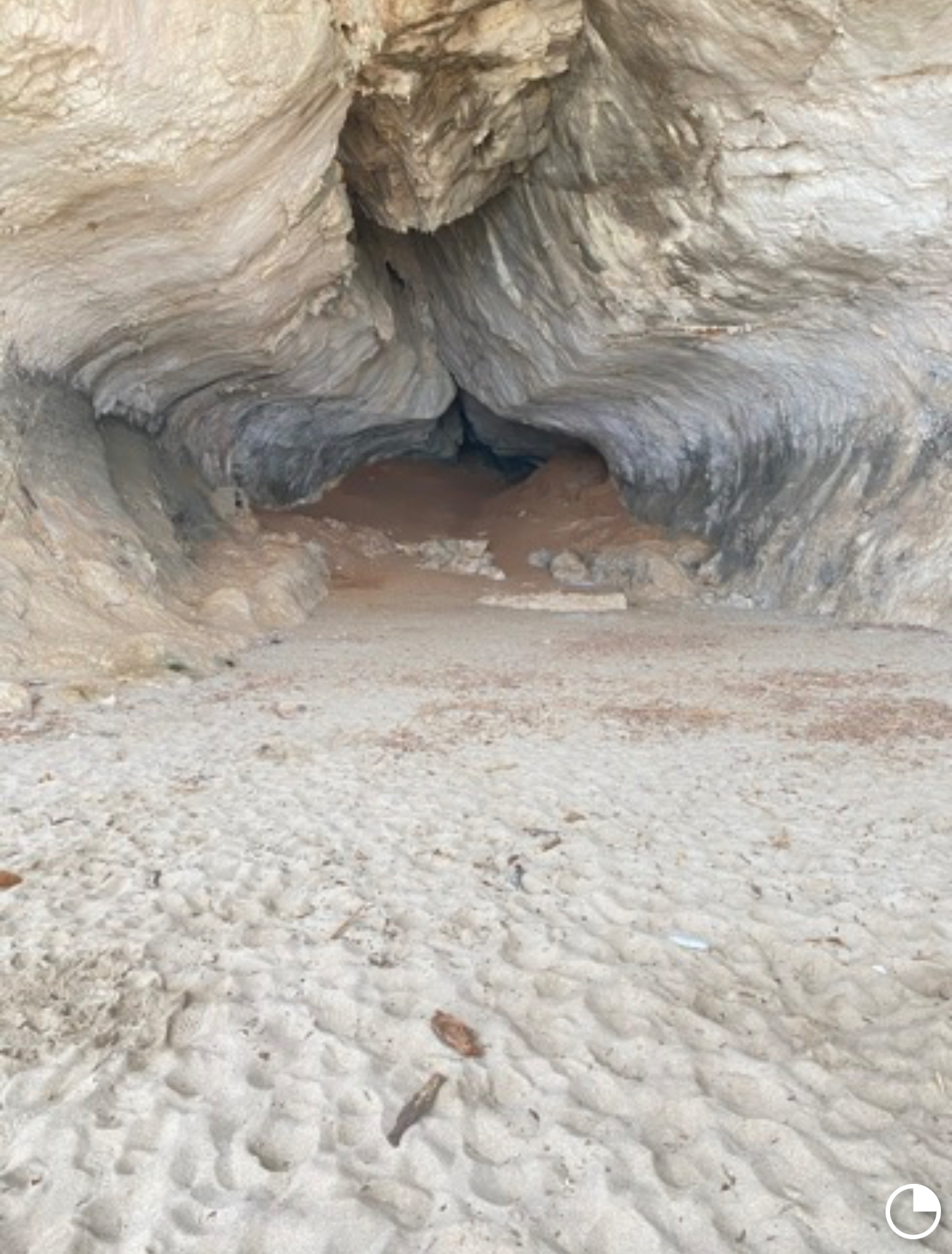
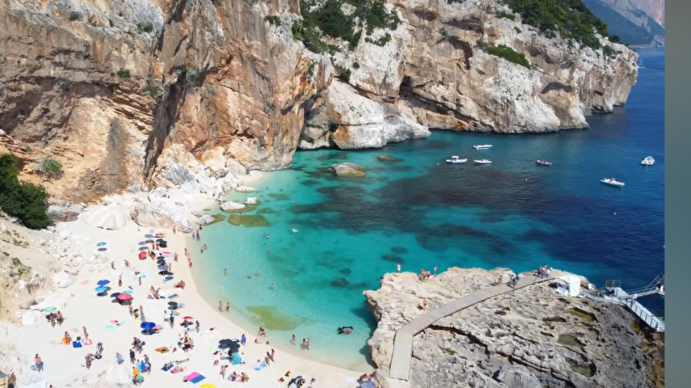
Known for its pale, rounded pebbles and vividly colored water, Cala Mariolu sits on the Baunei coast and is reachable by a regulated sea landing or a genuinely demanding, expert-level hike from the Golgo plateau — not a casual alternative to the boat. Full detail on current access rules and the land route is in our Cala Mariolu guide.
Cala Goloritzè
Cala Goloritzè is the gulf’s most restricted major cove: boats cannot land here at all, and access is hike-only, via a reservation system through the Golgo plateau. As of 2026, the official booking platform lists capacity at 250 people present at a time, an entrance fee of €7 per person (free for children up to and including age 5, and Baunei residents), with bookings opening three days in advance for trail and beach access. Boats can view the cove from offshore but cannot approach closer than a protected exclusion distance. Confirm current fees and dates directly with Heart of Sardinia’s official Cala Goloritzè booking page before you travel.
Further Along the Baunei Coast
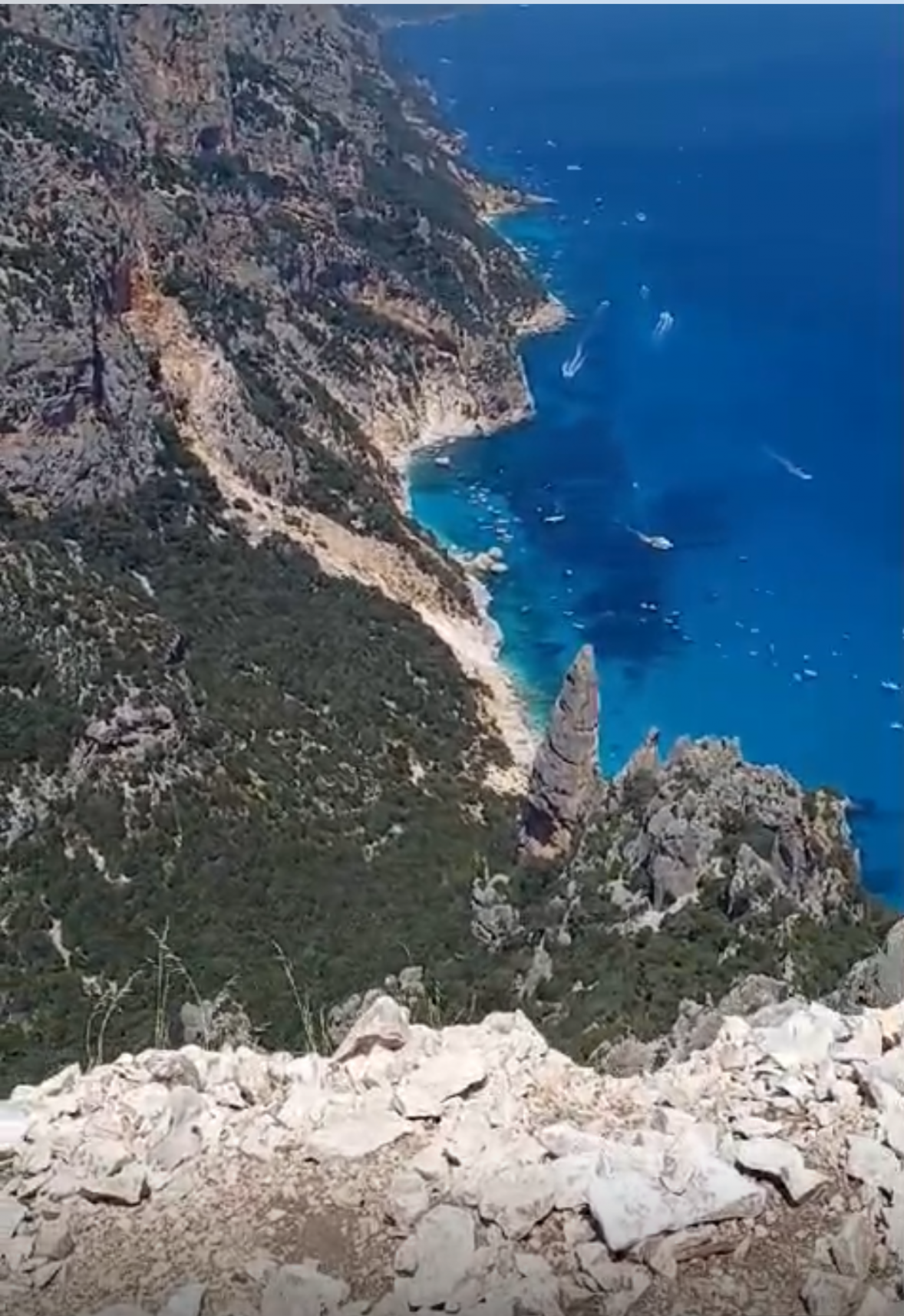
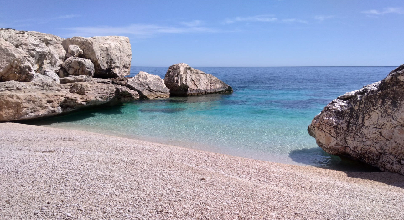
A few more names come up on longer boat itineraries. Cala Sisine is a broad cove with a pale pebble-and-shingle shoreline, often included on extended excursions and also reachable via a long inland hike through the Codula di Sisine gorge. Cala Biriala and Cala dei Gabbiani are smaller coves near Cala Mariolu, occasionally added to multi-stop itineraries with a shorter visit than the larger, more established beaches. Pedra Longa, a few kilometers north of Santa Maria Navarrese, isn’t a beach at all but a striking limestone sea stack protected as a Natural Monument — visible from many boat excursions and also reachable independently by car or on foot.
The Sea Caves: Bue Marino and Grotta del Fico
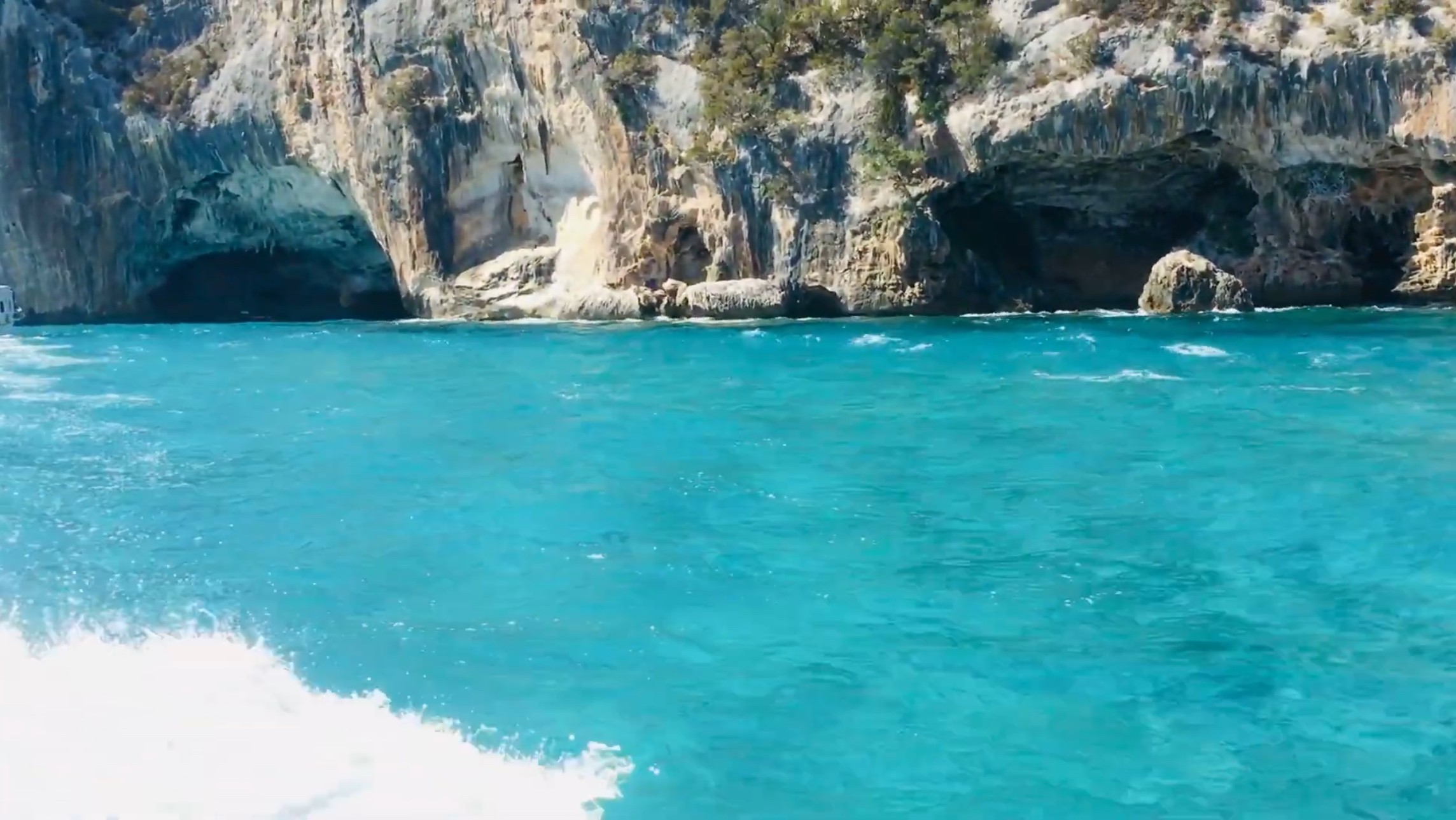
Two guided cave visits are commonly added to boat excursions. The Grotta del Bue Marino, near Cala Gonone, is a large cave system named for the Mediterranean monk seals that once used it, with guided walks covering roughly 800 meters of illuminated walkway, tickets purchased separately from your boat fare. Grotta del Fico, on the Baunei coast between Cala Mariolu and Cala Biriala, is a smaller karst cave reachable from Santa Maria Navarrese, Arbatax, Cala Gonone, Orosei, or La Caletta. Prices, ticket arrangements, visit lengths, and whether a given boat excursion connects to either cave all vary — confirm these details with your operator or the cave’s current information for your travel date rather than assuming a fixed cost or format.
Scheduled Motorboats vs. Smaller Guided Excursions
Larger scheduled ferries run fixed routes at the lower end of the price range, carrying more passengers with less flexibility. Smaller guided RIB excursions cost more but move at a more flexible pace, often stopping at more coves in one day. Neither is objectively better — it depends on budget and whether you’d rather see one or two coves at leisure or several briefly.
Compare Gulf of Orosei Boat Trips
If you’d rather join an organized excursion, you can compare available Gulf of Orosei boat trips and guided experiences on Viator. Check the departure port, planned stops, trip length, and what’s included before booking, since routes vary by operator and sea conditions can affect the day’s itinerary.
Affiliate disclosure: If you book through this link, SardiniaSardegna may earn a commission at no additional cost to you.
Private or Self-Driven Dinghy Access
Renting a boat and navigating the gulf yourself is possible, but it puts the full weight of navigation, weather judgment, and any required booking process on you. This suits experienced boaters and is a poor choice for anyone without real experience reading sea conditions — a guided excursion is safer and more relaxed for most visitors.
How Departure Port Shapes Your Itinerary
From Cala Gonone, a typical day naturally includes Cala Luna and, on longer excursions, the Bue Marino cave, with Cala Mariolu reachable but requiring a longer run. From Santa Maria Navarrese or Arbatax, Cala Mariolu, Cala Goloritzè’s coastline, and Pedra Longa are the natural focus, with Cala Luna a longer trip the other direction. Confirm which specific coves an excursion includes before booking — itineraries vary by operator, day, and conditions.
Find a Gulf of Orosei Trip That Fits Your Route
Once you’ve decided whether Cala Gonone, Santa Maria Navarrese, or Arbatax works better for your itinerary, compare Gulf of Orosei excursions before choosing an operator. Pay particular attention to the departure point, beach stops, time on shore, group size, and whether cave visits or other extras are included.
Affiliate disclosure: If you book through this link, SardiniaSardegna may earn a commission at no additional cost to you.
Weather and Sea Conditions That Can Cancel Landings
The gulf is exposed from the east, and wind from the northeast or east can make landing at any cove difficult or impossible, particularly for smaller craft. When conditions don’t allow a safe landing, operators typically adjust the itinerary — an offshore view, a different sheltered stop, or a shortened visit — rather than guaranteeing a landing regardless of sea state. Treat this as normal on this coast, especially outside high summer.
Current Regulated Access Systems
Several of the gulf’s most-visited beaches operate under capacity-limited access systems, with significant changes and digital-management expansions introduced during 2025 and 2026. These systems aren’t uniform — they’re managed separately by the municipalities of Dorgali and Baunei, since Cala Luna sits on their administrative border and is managed jointly, while Cala Mariolu and Cala Goloritzè fall entirely within Baunei and use that municipality’s own system. This split is the reason rules aren’t identical from one cove to the next, and it’s also the reason the systems have, at times, been subject to public disagreement between the two municipalities over shared infrastructure. Expect the details to keep evolving rather than settling into a single fixed system in the near term. Below is a brief summary; full current detail for each beach is in its own guide.
Cala Luna’s Current Access Rules
As of the 2026 season, Cala Luna’s capacity has been set at a maximum of 900 people present at the beach at any one time, according to Dorgali’s own municipal administration as reported by La Nuova Sardegna in August 2026, tracked through a QR-code booking system. Current reporting — not independently confirmed against a municipal notice at the time of writing — describes a per-person contribution of around €2 per day and a regulated period running roughly mid-June through mid-September, with capacity split 450 places managed by each municipality. Dorgali’s mayor has also publicly acknowledged that privately operated rental dinghies and independent hikers currently fall outside this counted system. Full detail, including the current status of hiking trail B162 and the newly built landing jetty, is in our Cala Luna guide.
Cala Mariolu’s Current Access Rules
Cala Mariolu’s sea-landing access, managed by the Comune di Baunei, is currently listed by Heart of Sardinia at a capacity of 700 sea-landing places, with a fee of €2 for a single cove by sea or €3 for a multi-cove itinerary, for the period May 1 through October 20, 2026. This fee applies to sea arrivals only, not permitted land access. Full detail on booking and the demanding land-route alternative is in our Cala Mariolu guide.
Cala Goloritzè’s Current Access Rules
Cala Goloritzè’s access, summarized above, is currently the most tightly regulated in the gulf: hike-only, reservation required through the Heart of Sardinia app, a capacity of 250 at a time, and a €7 entrance fee. Confirm current details directly before you travel.
Why You Must Verify Current Fees, Quotas, and Booking Procedures
Every figure in this section — capacities, fees, date ranges, booking mechanics — has changed at least once as these systems have changed and expanded, and the municipalities involved have an active, ongoing disagreement over parts of the shared infrastructure. Don’t plan a trip around any number here without confirming it close to your travel date through the official Heart of Sardinia platform or the relevant municipality directly.
Hiking Opportunities and Realistic Difficulty
The gulf offers hiking routes from a moderate coastal walk to genuinely expert-level terrain, and these aren’t interchangeable difficulty levels — treating a hard route as a moderate one is where hikers get into trouble here. The Cala Fuili–to–Cala Luna trail is officially rated E (Escursionistico), a standard hiking-level route roughly 5 kilometers each way with about 227 meters of elevation change. The Cala Goloritzè trail from the Golgo plateau is longer and steeper, with a well-established, marked path and a mandatory reservation. Cala Mariolu’s officially documented land route is the most demanding of the three: considerably rougher expert-level terrain suited only to experienced, well-equipped hikers — not a substitute for the boat if you’re uncertain about your fitness or navigation skills. Full trail detail for each is in the respective guide linked above.
Boat-Out, Hike-Back Planning Risks
Combining a boat arrival with a hike back, or the reverse, is common at Cala Luna, but it depends on available capacity on a scheduled boat that day and on conditions allowing normal service — neither is guaranteed. If hiking one way and hoping to return by boat, confirm realistic timing and availability at the port before you set out, and have a genuine fallback plan for walking the full route if the boat doesn’t work out. At Cala Mariolu, a boat return from a hike is possible only if arranged and booked beforehand; at Cala Goloritzè, boat-based return isn’t permitted at all — the same trail is your only way back either direction.
Swimming, Snorkeling, and Boat-Traffic Safety
The gulf’s water is clear and generally rewarding for snorkeling, particularly around rock formations and cave entrances, but depth and conditions vary by cove, shoreline, wind, and swell — don’t assume a uniform bottom anywhere. These are also working coves with constant boat traffic in season. Follow marked swimming areas and staff instructions, and stay outside landing and navigation corridors at all times.
Seasonal Facilities: What Not to Rely On
Most of the gulf’s beaches are wild rather than developed — don’t expect sunbed rentals, reliable toilets, or guaranteed food service. A handful of coves have had small seasonal kiosks in some years, but hours and whether they operate at all vary. Arrive self-sufficient with your own water, food, and sun protection as the default at every beach in this guide.
Suitability for Families, Older Travelers, and Limited Mobility
By boat, most of the gulf’s coves work reasonably well for families and older travelers, though boarding and disembarkation vary by vessel and operator and can involve uneven surfaces — ask your operator if mobility is a concern. None of the hiking routes here are a good substitute for the boat if fitness or balance are in question; Cala Mariolu and Cala Goloritzè’s land routes especially are unsuitable for young children or inexperienced hikers.
When to Visit
Boat services generally run spring into autumn, fullest from June through September. July and August generally bring the fullest boat schedules and warmest water, but landings still depend on daily wind and sea conditions, and these months also bring the largest crowds and highest demand on every reservation system above. Late May, June, and September trade thinner crowds and easier bookings for less certainty around schedules and water temperature.
Crowds in July and August
Despite the access-limit systems now in place, current reporting from summer 2026 describes a persistent sense of crowding at Cala Luna, even within the official capacity — partly attributed to boat traffic outside the counted system. Treat “regulated” as “managed,” not “guaranteed quiet.” An early departure remains the most effective lever for a calmer visit anywhere in the gulf.
Is a Rental Car Useful?
A rental car is genuinely useful, and close to necessary, for reaching Baunei village, the Golgo plateau, and Pedra Longa independently, and for moving between bases. Within any single town in this guide, you can generally manage on foot for beach days and boat departures.
Public Transport Limitations
Public transport here is limited. Regional ARST buses connect the wider area, but routes from either Olbia or Cagliari airport typically involve one or more connections, and schedules aren’t built around tourist convenience. Plan any public-transport itinerary using ARST’s current timetables rather than assuming frequent, direct service.
How Many Nights to Stay
Three nights is a reasonable minimum to see the gulf’s highlights without rushing — one boat excursion day, one day for Golgo and a hike, one slower beach or town day. Five nights allows a genuinely unhurried pace, room for weather contingencies, and time to see both the northern coves from Cala Gonone and the southern coves from Santa Maria Navarrese or Arbatax without a single exhausting day trying to cover everything.
Planning a Boat Day During Your Stay?
A boat excursion can fit naturally into either a three-day or five-day Gulf of Orosei itinerary. Compare available experiences before your trip so you can see the different departure ports, routes, durations, group sizes, and stops offered by individual operators.
Affiliate disclosure: If you book through this link, SardiniaSardegna may earn a commission at no additional cost to you.
A Realistic Three-Day Itinerary
- Day 1: Arrive in Cala Gonone, settle in, walk the town and harbor, swim at the town beach.
- Day 2: Full-day boat excursion from Cala Gonone toward Cala Luna, with the Bue Marino cave if your operator includes it.
- Day 3: Drive to Baunei and the Golgo plateau for a lighter day at San Pietro, Su Sterru, and As Piscinas, or the Cala Goloritzè hike if you’ve booked ahead and are prepared for a demanding day.
A Realistic Five-Day Itinerary
- Day 1: Arrive in Cala Gonone, settle in, walk the town and harbor.
- Day 2: Full-day boat excursion from Cala Gonone toward Cala Luna and the Bue Marino cave.
- Day 3: Relocate to Santa Maria Navarrese; afternoon at the town beach, church, and olive grove.
- Day 4: Full-day boat excursion from Santa Maria Navarrese toward Cala Mariolu and Pedra Longa.
- Day 5: Drive to Baunei and the Golgo plateau for the Cala Goloritzè hike, reserved within the current official booking window, or a lighter day at the plateau’s other sights.
What to Bring
- Sturdy closed-toe shoes for hiking, and water shoes for pebble beaches.
- More water than feels necessary for any hike — there’s no reliable source on any of these trails.
- Sun protection, since shade is limited at most coves and on the boats themselves.
- A card plus some cash for operator tickets, cave admission, or seasonal services; confirm accepted payment methods in advance.
- A downloaded map or offline trail file for any hike, since signage and mobile signal are both inconsistent here.
- Your reservation confirmation, saved offline, for any beach with a current booking requirement.
Responsible Tourism and Protected-Coast Behavior
The Gulf of Orosei’s beauty is a direct result of decades of limited development, and the access-limit systems now in place exist to protect that, even where imperfect. Pack out everything you bring in, including food waste